
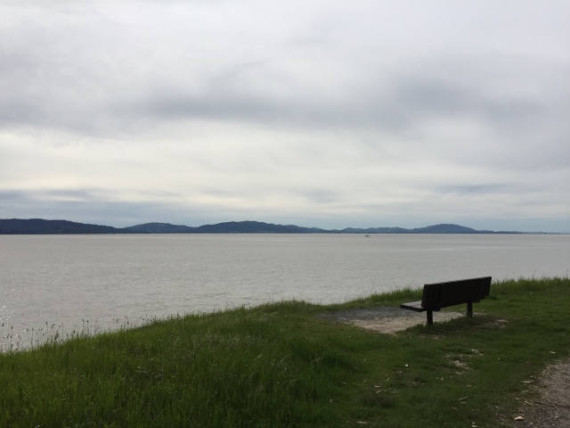
By all accounts, Point Pinole Regional Shoreline is a park that probably shouldn’t exist. Prior to 1960, the land was owned by a company that manufactured gun powder and dynamite. This was followed by a brief time when Bethlehem Steel owned the point, before it was transferred to the East Bay park district in the 1970’s. Years of environmental clean-up and letting nature do its work have done the park a lot of good, and it has transformed into a lovely place to go for a hike and get great views of San Pablo Bay.
Driving up to it, you almost don’t expect to actually find a park amongst industrial warehouses and a county detention facility, but sure enough the sign for the park entrance appears when you least expect it. Park in the lot and follow the path to a pedestrian bridge over the train tracks. Here’s where the suggested hike that I took begins. Make an immediate left onto the Bay View Trail, and head downhill towards the water. Make a right when you reach the shoreline to continue on the Bay View Trail. At first, the trail doesn’t seem like the most scenic location. It follows the edge of San Pablo Bay and I think is near a landfill (it smelled like it). Bear with me, the trail gets better.
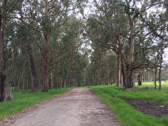
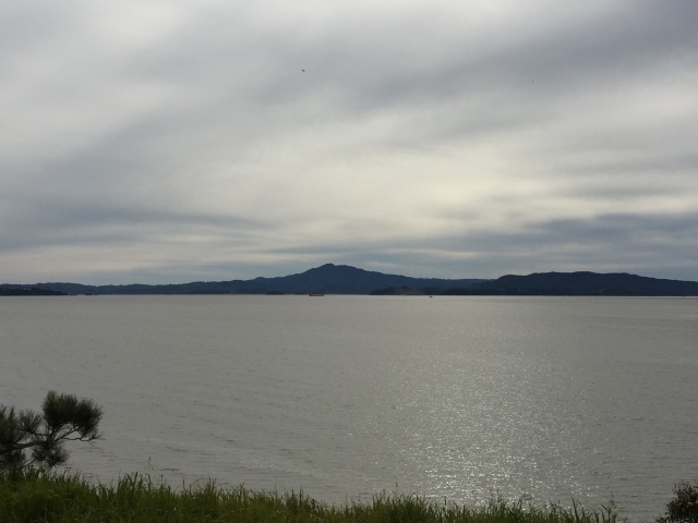
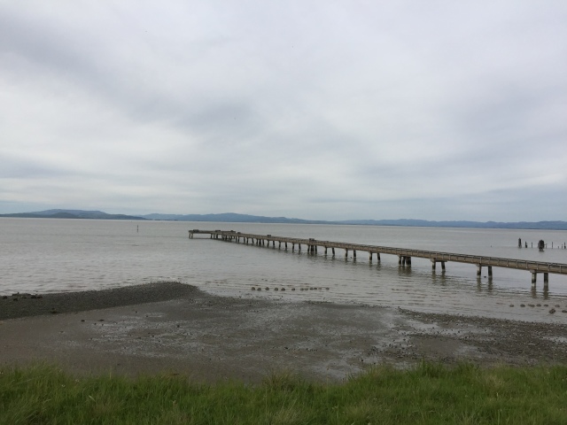
As you continue to follow the Bay View Trail, it will wind in and out of eucalyptus stands, giving great views of San Pablo Bay and Mt. Tamalpais beyond. As you hike out closer to the point, the cliff down to the water grows steeper (though you’ll never be climbing much). It’s about 2 miles of hiking to reach the pier at the end of the point.
From here, follow the paved road south past the bathrooms and pick up the Owl Alley Trail heading south.
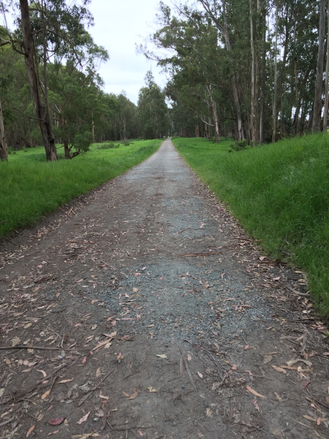
Owl Alley Trail is completely flat and straight, entering in and out of eucalyptus forests and grassland. When I visited in spring, the grasses were green and the wildflowers in bloom. Despite the lack of terrain it was quite a pretty scene. Follow this trail all the way to its end, then turn right onto the Cooks Point Trail. You’ll pass by the new entrance to Point Pinole, which hadn’t opened at the time I visited. Look for the Station Trail shortly after the new entrance, and make a left. This trail will take you back to the pedestrian bridge, where you can retrace your steps back to the parking lot. I found Point Pinole to be an enjoyable afternoon hike when the weather wasn’t too warm. I recommend a cool spring or summer evening, when the breezes are blowing off the bay.
Hike Stats
Distance: 3.94 miles
Time: 1-2 hours
Elevation gain: 200 feet
Fees: Parking is $3 when the kiosk is staffed. When it’s not, entrance is free.
Directions: From I-80, take the Richmond Parkway exit, head west. Turn right onto Atlas Road, then turn left onto Giant Highway. The park will be on the right just past the county detention facility.
Park map from the East Bay Regional Park District can be found here.


