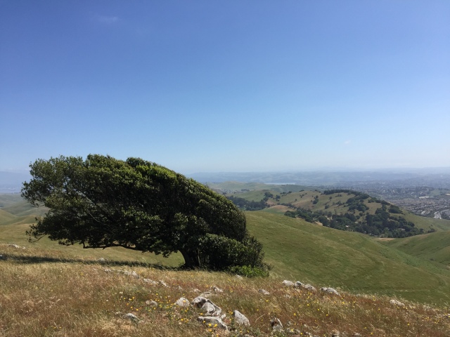
Growing up in Suisun, Rush Ranch was always a place that I went to on school field trips and various Boy Scout events. I learned all about local wildlife at the nature center, dissected owl pellets in the barn, and had a Boy Scout camporee there one year. Heck, I even had my Eagle Scout Court of Honor at the event hall at Rush Ranch. Many times over my youth I spent hiking its trails and exploring the tepee and Indian grinding rock they have on site. dn fact, Rush Ranch was my first real experience with hiking way back when I was in Cub Scouts. You could say that Rush Ranch holds some special memories for me, so I was excited to finally get back and explore its trails as an adult with a fresh new perspective.
Rush Ranch, located in the Suisun Marsh south of Fairfield/Suisun City, has three main loop trails, the Marsh Loop, South Pasture Loop, and Suisun Hill Trail. Each are approximately a two mile loop. On this particular day, I did the Marsh Loop and part of the South Pasture Loop. The Marsh Loop runs through the northern part of the property and predictably, provides a great opportunity to view a section of the Suisun Marsh. I started out from the gate just to the north of the parking area. You’ll see a sign board with a map posted on it. Go through the gate and follow the trail north. At first you’ll be hiking through pastures and after about a half mile, the trail turns to the left around a hill and heads into more marshy landscapes.
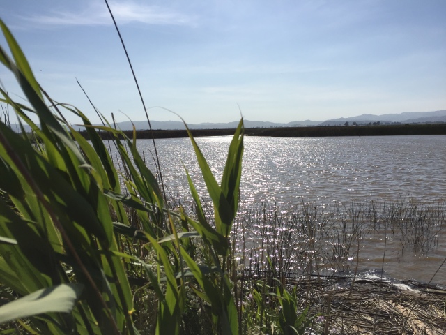
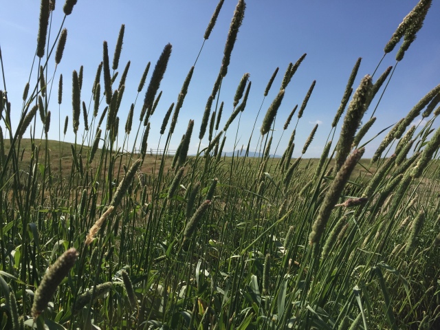
I was surprised at the beautiful scenery and tranquility that I experienced. The trail follows a slough, though it’s not always in view due to tall reeds and grass around you. The water was blue and glittering in the afternoon sun, and the breeze gently rippled the grass and plants. And just like at Grizzly Island, I found myself falling in love with the marsh all over again. It may not seem like the prettiest landscape from a distance, but when you get up close you’ll be surprised what you find. Continue to follow the trail as it bends to the left again and heads back to the nature center.
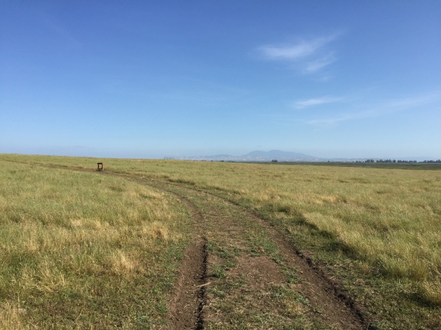
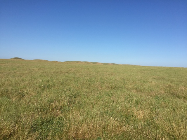
After completing the Marsh Loop, I started the South Pasture Loop. As the name indicates, this loop has a bit of a different look to it than the Marsh Loop. The South Pasture Loop heads south and loops around through rolling pastures that harken back to the day when this property was owned by the Rush family and grazed cattle. Soon after the trail begins, you’ll see a turnoff to the right for the Indian grinding rock. Turn right and take a look, as it’s an interesting piece of early history. A sign explains the significance of the rock, which was used by the early Indians to grind acorns. Climb up the short hill and get a cool view of the marsh slightly below you. Here you’ll return to the original trail and head south again.
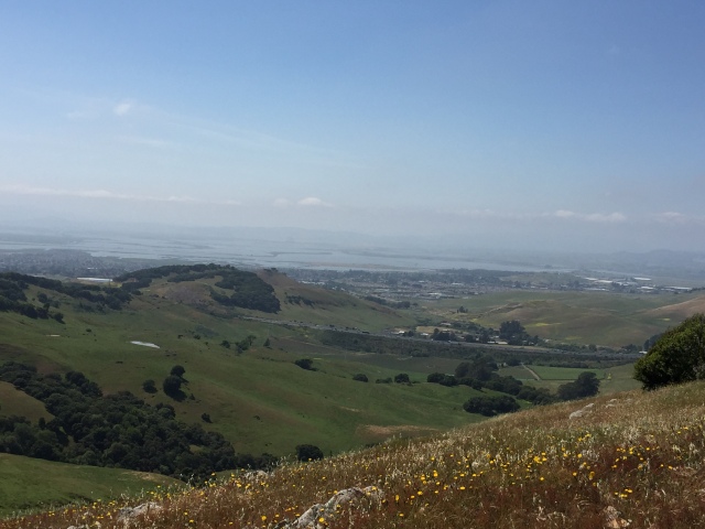
In the distance you’ll get great views of the rolling Potrero Hills and Mt. Diablo to the south across the strait. Normally I would say that I continued along this path until it looped back to the nature center, as this is what you would do in most cases. However, I was forced to turn back because a very large herd of cattle was blocking the path and I couldn’t find where it rejoined. Alas, another day I will be back to complete the loop fully.
Stats
Distance: 3.81 miles
Time: 1.5-2 hours
Elevation gain: Negligible, trail is almost completely flat
Fees: Parking and entrance are free
Directions: From I-80, take Highway 12 towards Suisun City. Turn right onto Grizzly Island Road and follow the road south into the marsh. The ranch is on the right about 4 miles down the road.